Responsible management teams and stakeholders insist on tracking the organisation's assets. In recent years, software advances have made this far less tedious. Knowing your resources, their condition and location empowers management to better deploy them and plan any maintenance cost schedules.
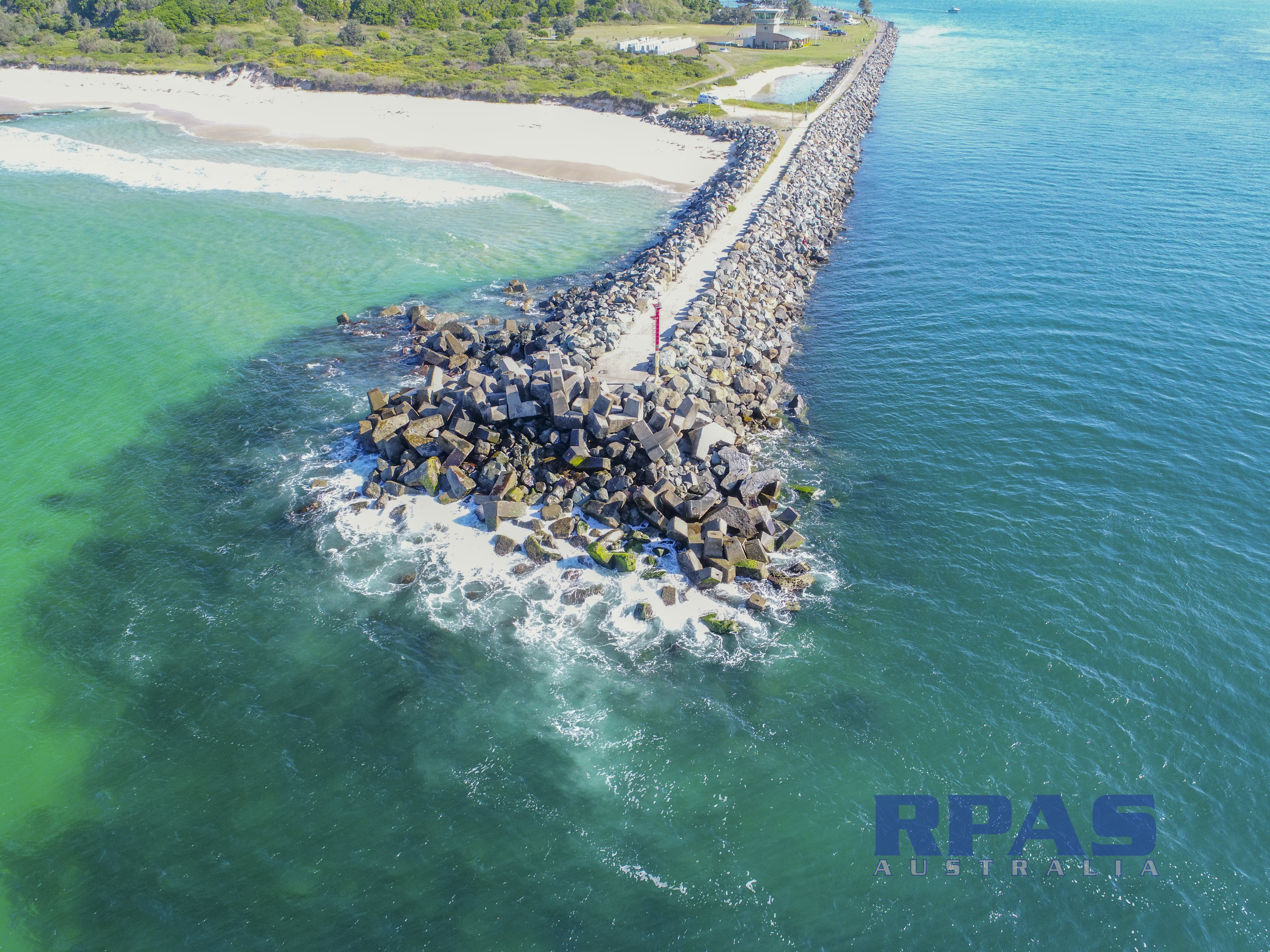
Many assets due to their location, size, condition and access make inspection difficult or down right dangerous to execute a quality audit. Aerial inspection using Remotely Piloted Aircraft Systems (RPAS) aka drones can eleviate many of these concerns.
difficult terrain (eg: steep, swamps, dense vegetation)
height - communication towers and unprotected roof tops
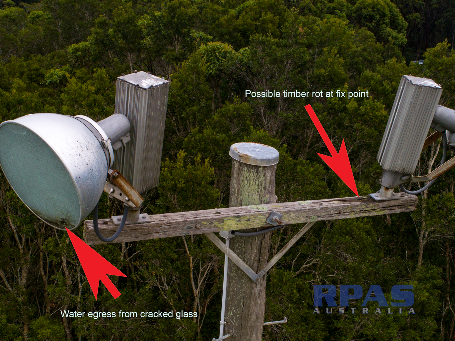
scaffold cost - especially if numerous and inspection is brief eg: lighting towers, utility connection points and facades.
permissions (eg rail bridges) & non-contact inspections
viewing angle
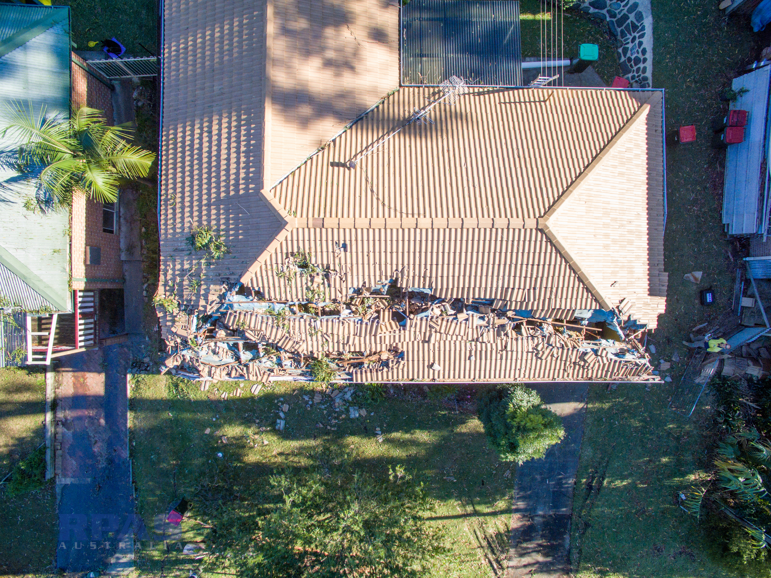
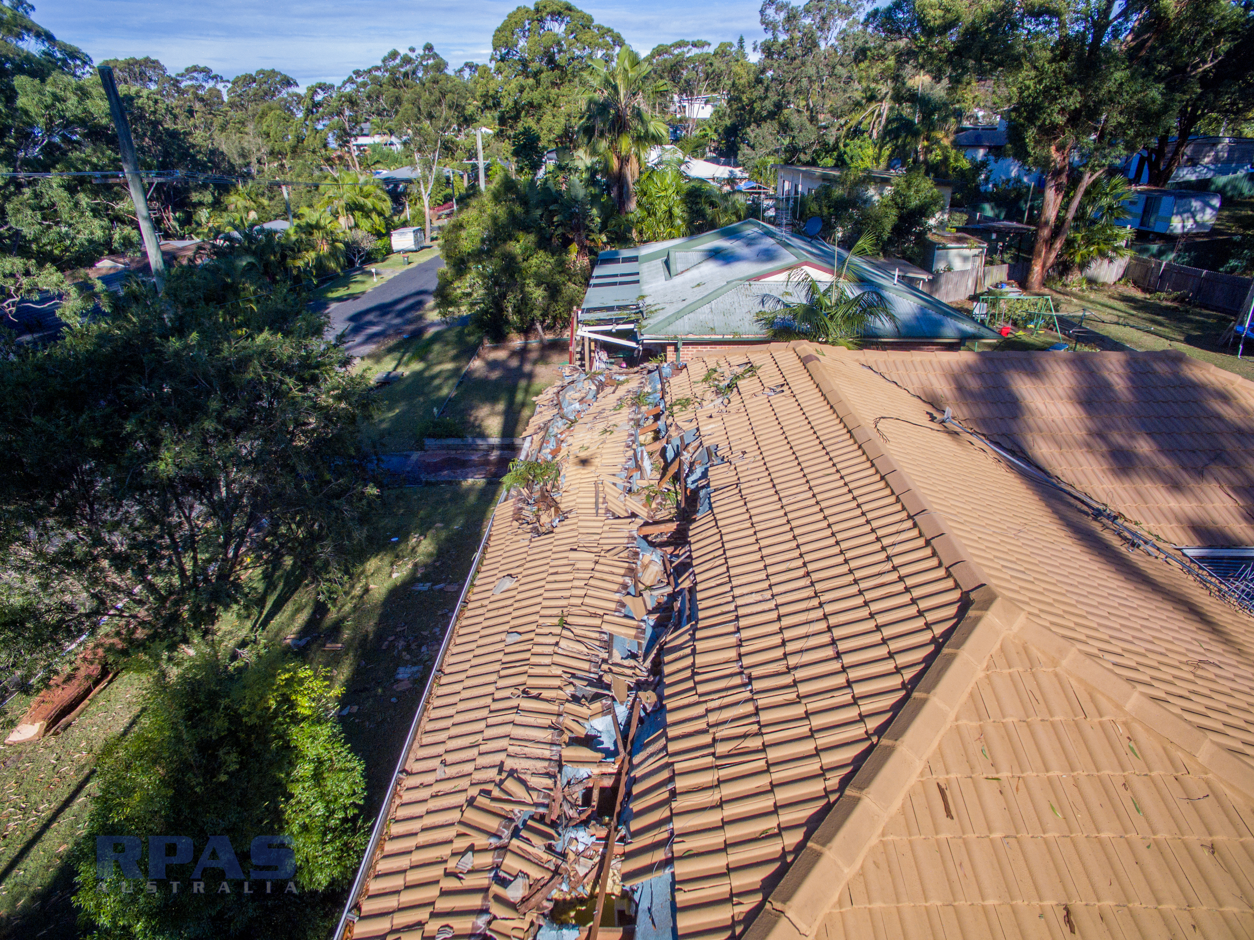
Storm damage insurance claims
Unsafe, Dilapidated or damaged structures
Chemical hazards
All imagery is geotagged for location referencing (PPK 3cm accuracy available). With a live video feed to the ground, assessments can be concluded on the spot.
We can even provide a near-live feed to anywhere in the world so you can direct the operator on-site.
Many of our local telecommunication towers are dual purpose. Telco’s have modified and accommodated birds of prey in their upper reaches. There certainly are maintenance issues related to this good cause. RPA can minimise the number of times a worker must bother the flying fauna.
