
1
2
3
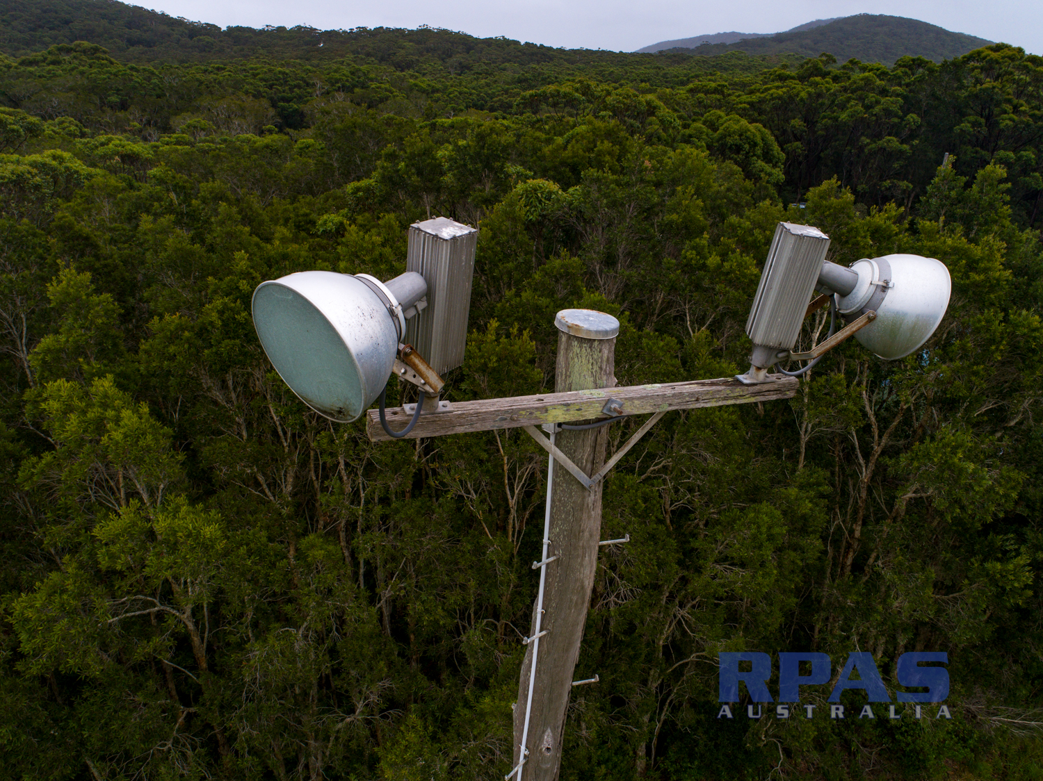
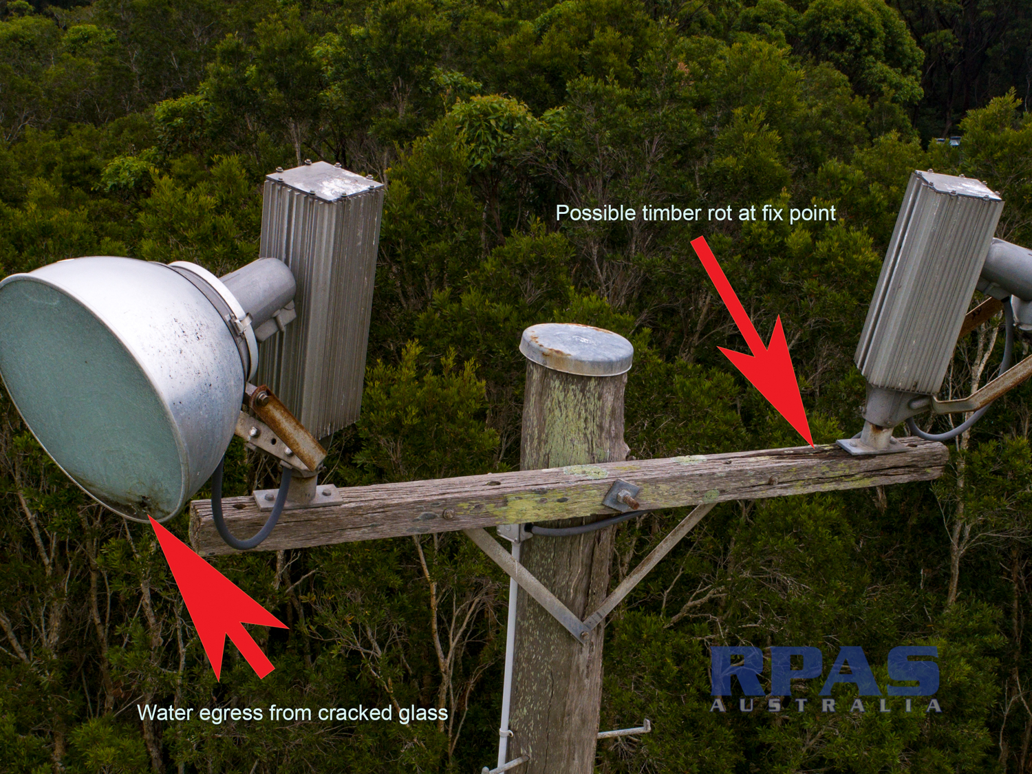
Sports field lighting
light tower inspection
sports field light tower maintenance
Identify weathering and damage issues
DCIM\100MEDIA\DJI_0661.JPG
RPAS Australia Uses the latest UAV / Drone technology to captures high resolution aerial imagery. For all your aerial imagery, mapping surveys, inspection, GIS mapping data needs.