


1
2
3
4
5
6
7
8
9
Aerial photographs promoting the Pacific Palms area. Includes Smiths lake, Bluey's Beach, Boomerang, Elizabeth Beach, Tarbuck Bay.
Boomerang Beach
Pacific Palms
Pacific Palms
Drone sunrise
Cellito Beach & Smiths Lake
Pacific Palms NSW
Smiths Lake
Pacific Palms NSW
Smiths Lake
Pacific Palms NSW
Smiths Lake
Pacific Palms NSW
Smiths Lake opening
Pacific Palms NSW
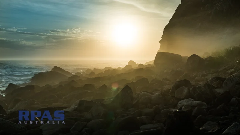
Boomerang south headland sunrise
Pacific Palms NSW
Boomerang south headland sunrise
Pacific Palms NSW
RPAS Australia Uses the latest UAV / Drone technology to captures high resolution aerial imagery. For all your aerial imagery, mapping surveys, inspection, GIS mapping data needs.